OrthoSnap
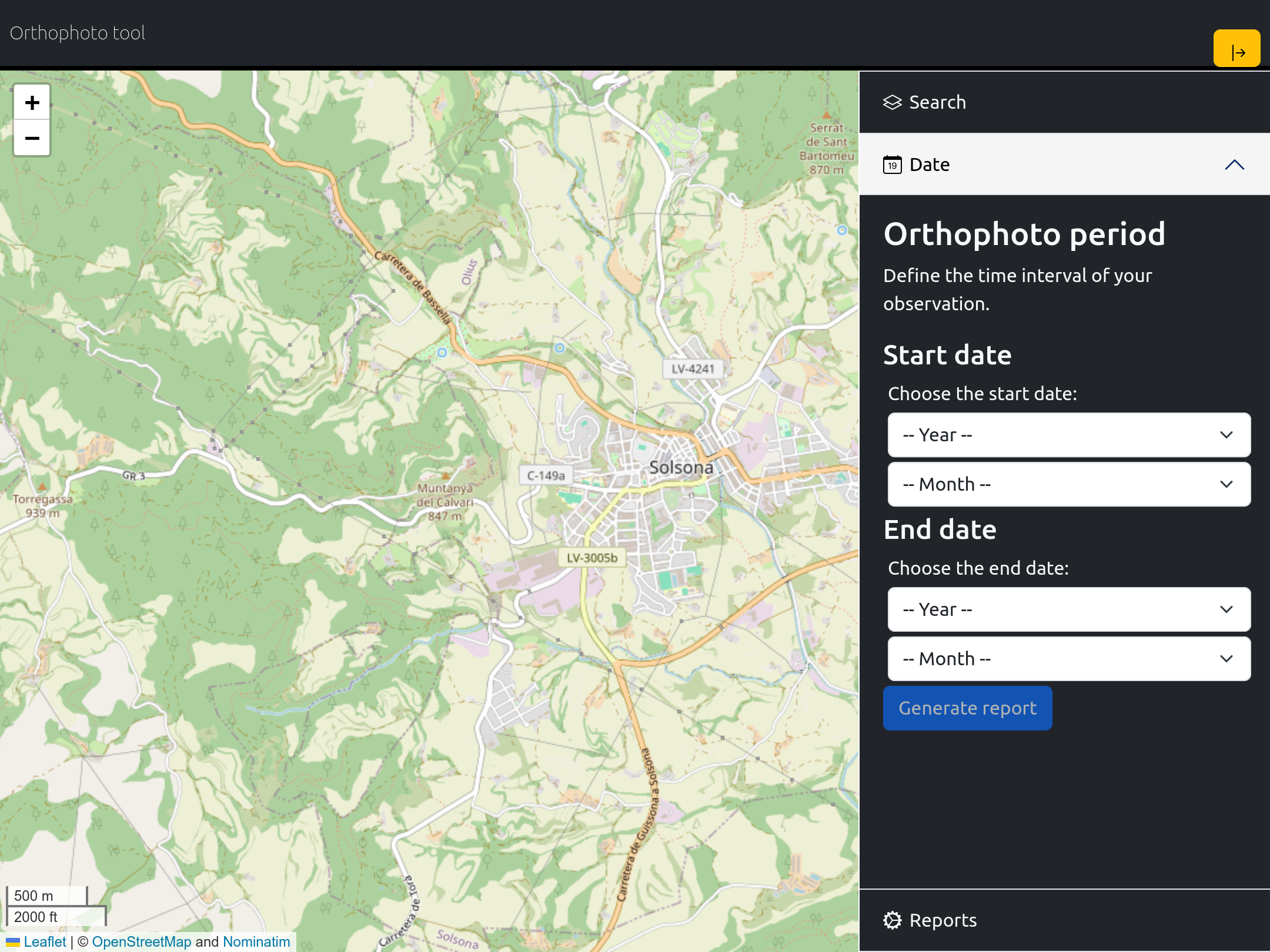
Unlock the world from above with "OrthoSnap." This intuitive tool allows users to effortlessly generate and download high-resolution Orthophotos from Copernicus for any desired location. Experience precision and clarity at your fingertips, as "OrthoSnap" simplifies satellite imagery access for everyone, from researchers and developers to enthusiasts. Seamlessly navigate the Earth's surface with unparalleled detail, making satellite data accessible and actionable for a myriad of applications.
StartData
Contains modified Copernicus Sentinel data 2018-2024.
Background layer from OpenStreeMap.