Empowering Change through Satellite Data
Join us at RemotelySensing.com as we embark on a journey to transform satellite data into a force for positive change. Together, let's create a world where technology and ecology thrive hand in hand.
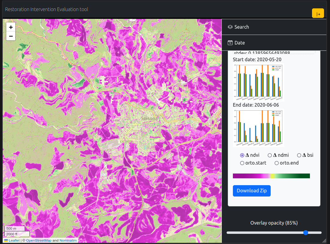
At RemotelySensing.com, we harness the power of satellite data to unlock valuable insights and drive positive change. Our mission is rooted in utilizing cutting-edge technology to generate detailed maps and comprehensive reports, with a special emphasis on ecological restoration and monitoring.
Why Choose RemotelySensing.com?
- Empowering Change through Satellite Data: We leverage the latest advancements in satellite technology to provide you with accurate and up-to-date information. Our commitment to precision ensures that you receive reliable data for informed decision-making.
- Eco-Focused Solutions: Our passion lies in environmental conservation, and we proudly dedicate our expertise to projects centered around ecology restoration and monitoring. Whether it's tracking changes in vegetation, monitoring wildlife habitats, or assessing the impact of climate change, we're dedicated to making a positive impact on the planet.
- Innovation for Impact: Beyond conventional mapping, we strive for innovation that leads to meaningful outcomes. Our team of experts is constantly exploring new ways to utilize satellite data, pushing the boundaries of what's possible in the realm of remote sensing.
Our Services
Ecological Monitoring: Stay ahead in environmental conservation efforts with our comprehensive ecological monitoring services. We provide real-time data on vegetation health, land cover changes, and more.
Restoration Planning: Envision a greener future with our restoration planning services. We offer tailored solutions to rejuvenate ecosystems, promoting biodiversity and sustainability.
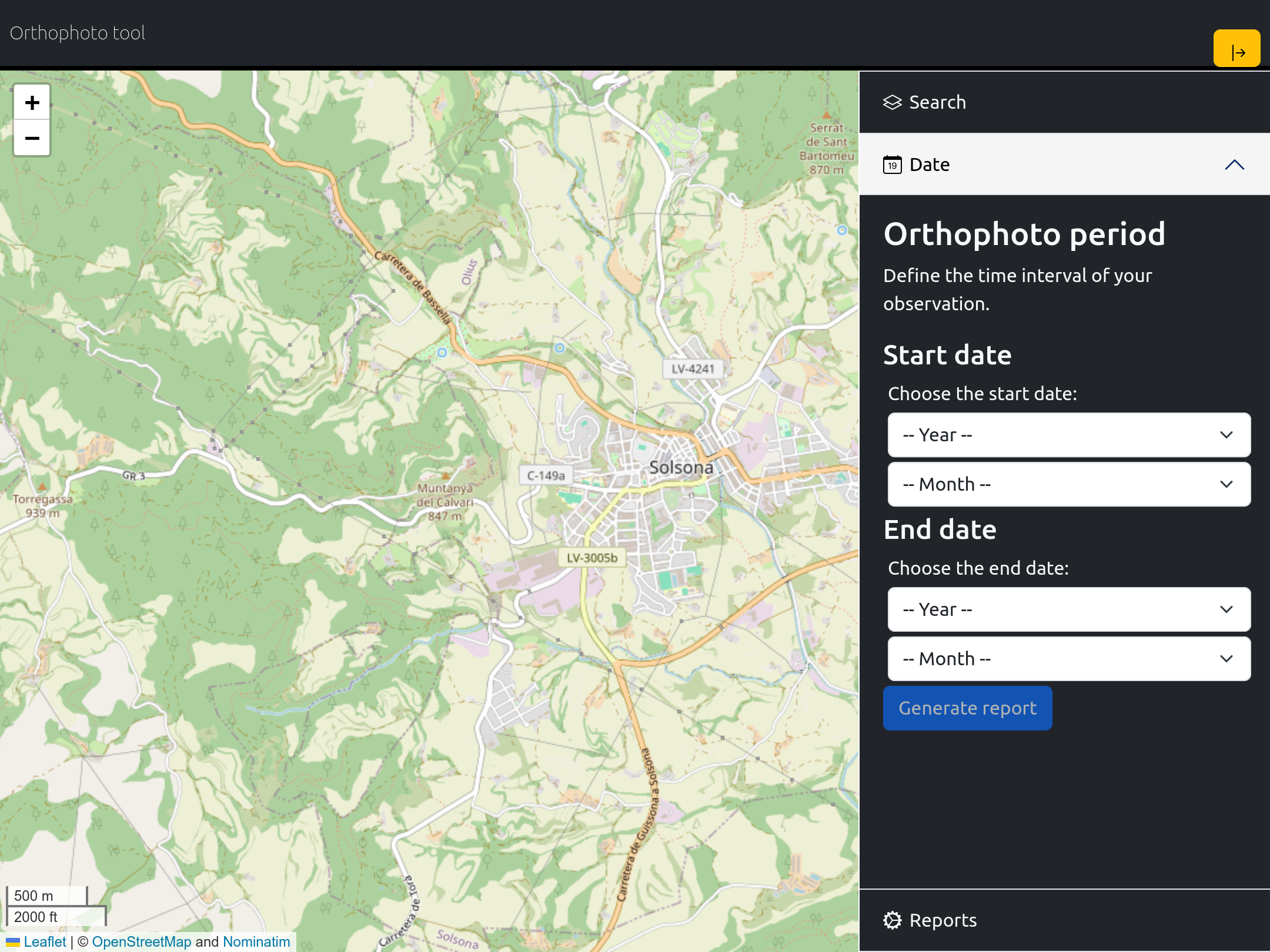
Customized Reporting: Receive detailed and user-friendly reports that transform complex satellite data into actionable insights. Our reports are designed to meet the unique needs of each client, facilitating informed decision-making.


